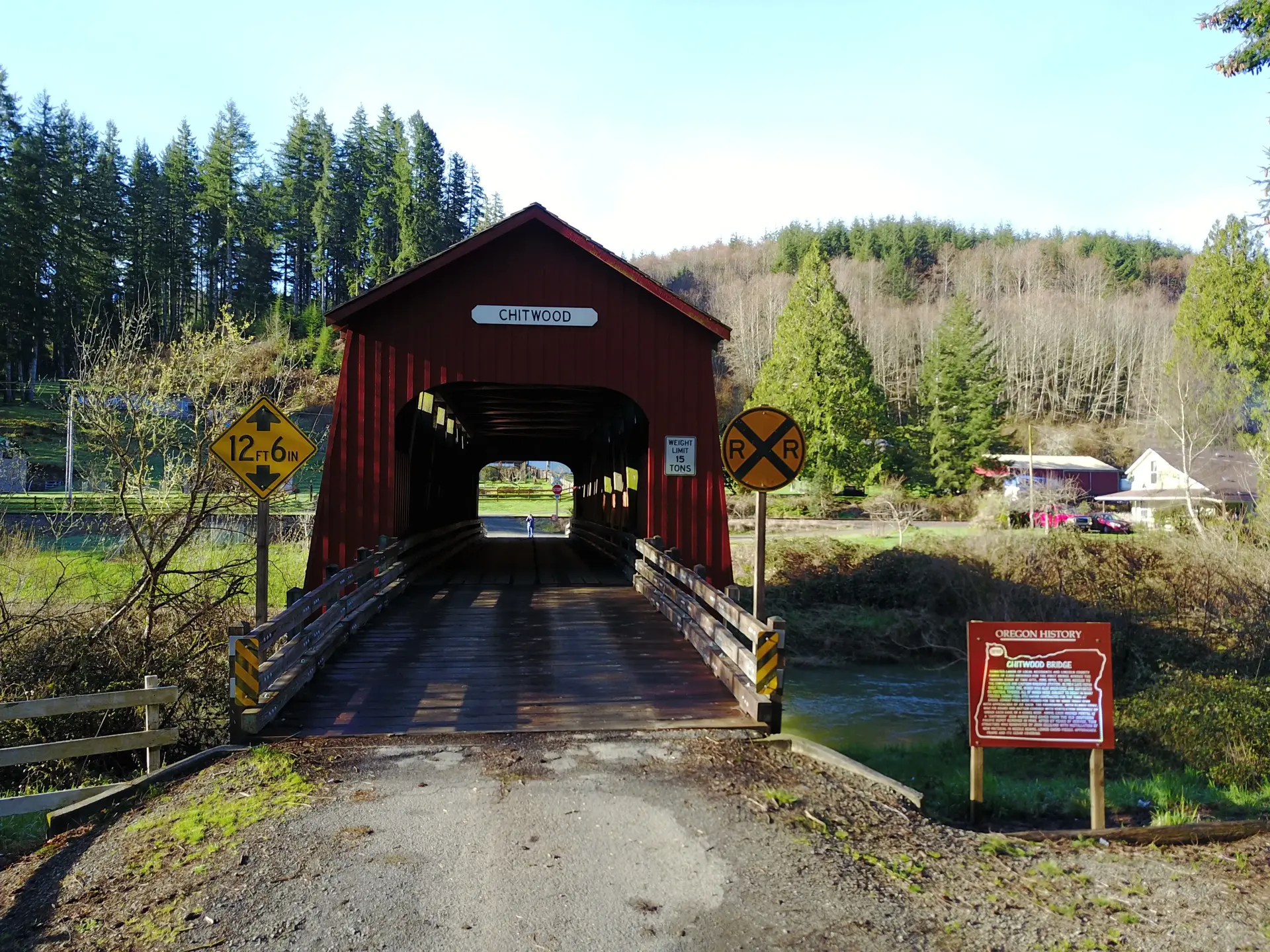
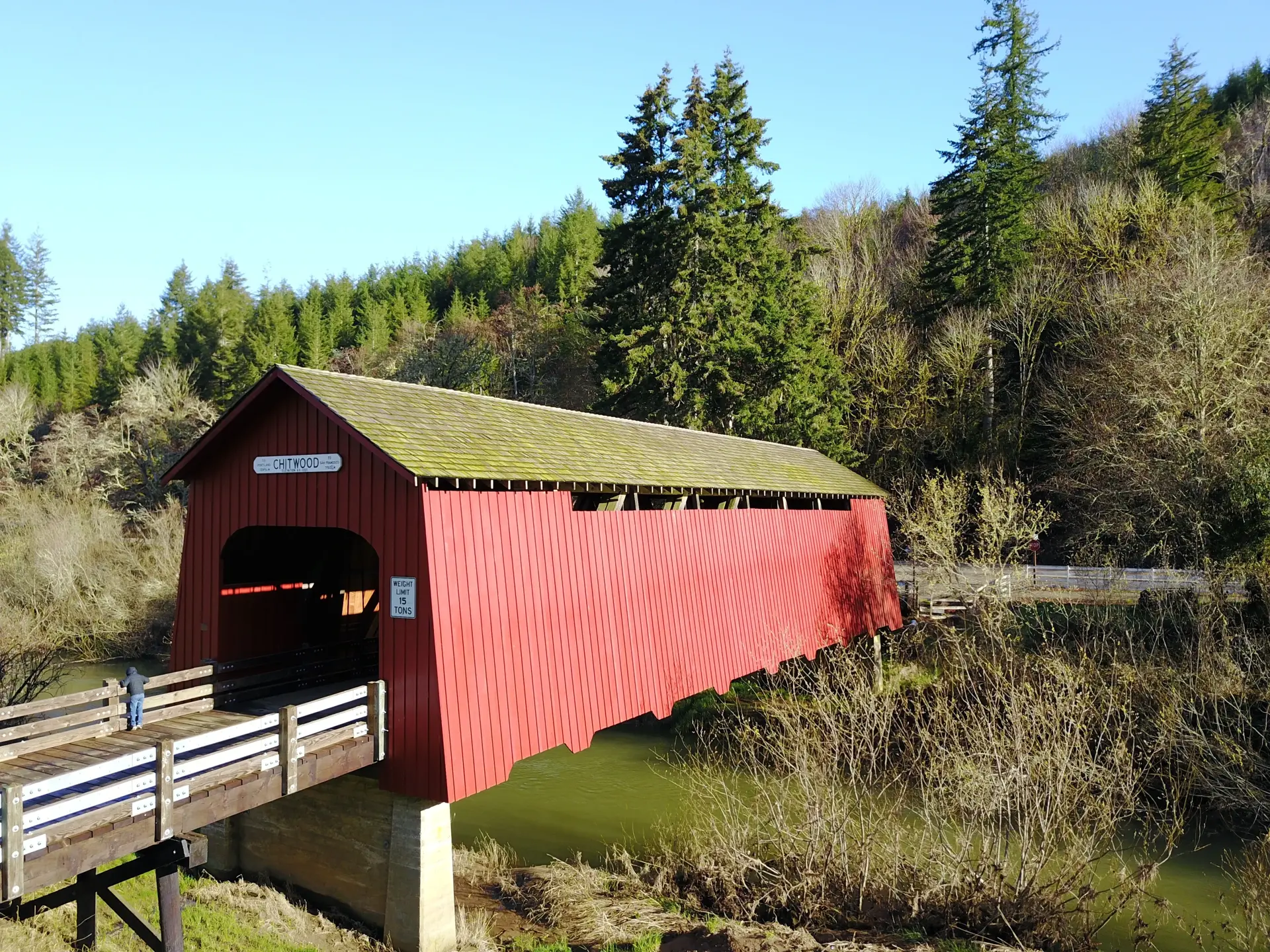
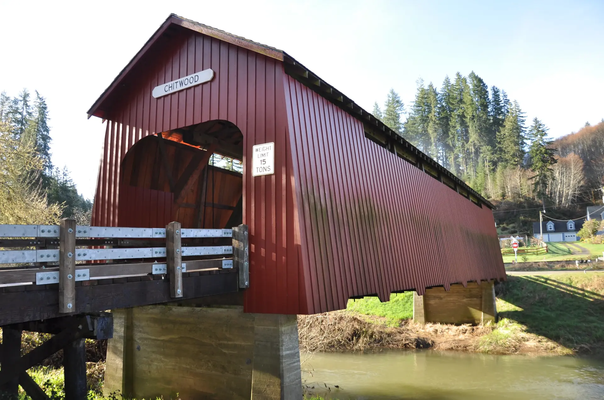
Chitwood Bridge is a 96-foot Howe truss covered bridge spanning the Yaquina River near the small community of Chitwood in Lincoln County, Oregon. Built in 1926, it is one of the few covered bridges located in the Oregon Coast Range — a region where the heavy rainfall and dense forest made covered bridges especially valuable for protecting timber decks from accelerated decay.
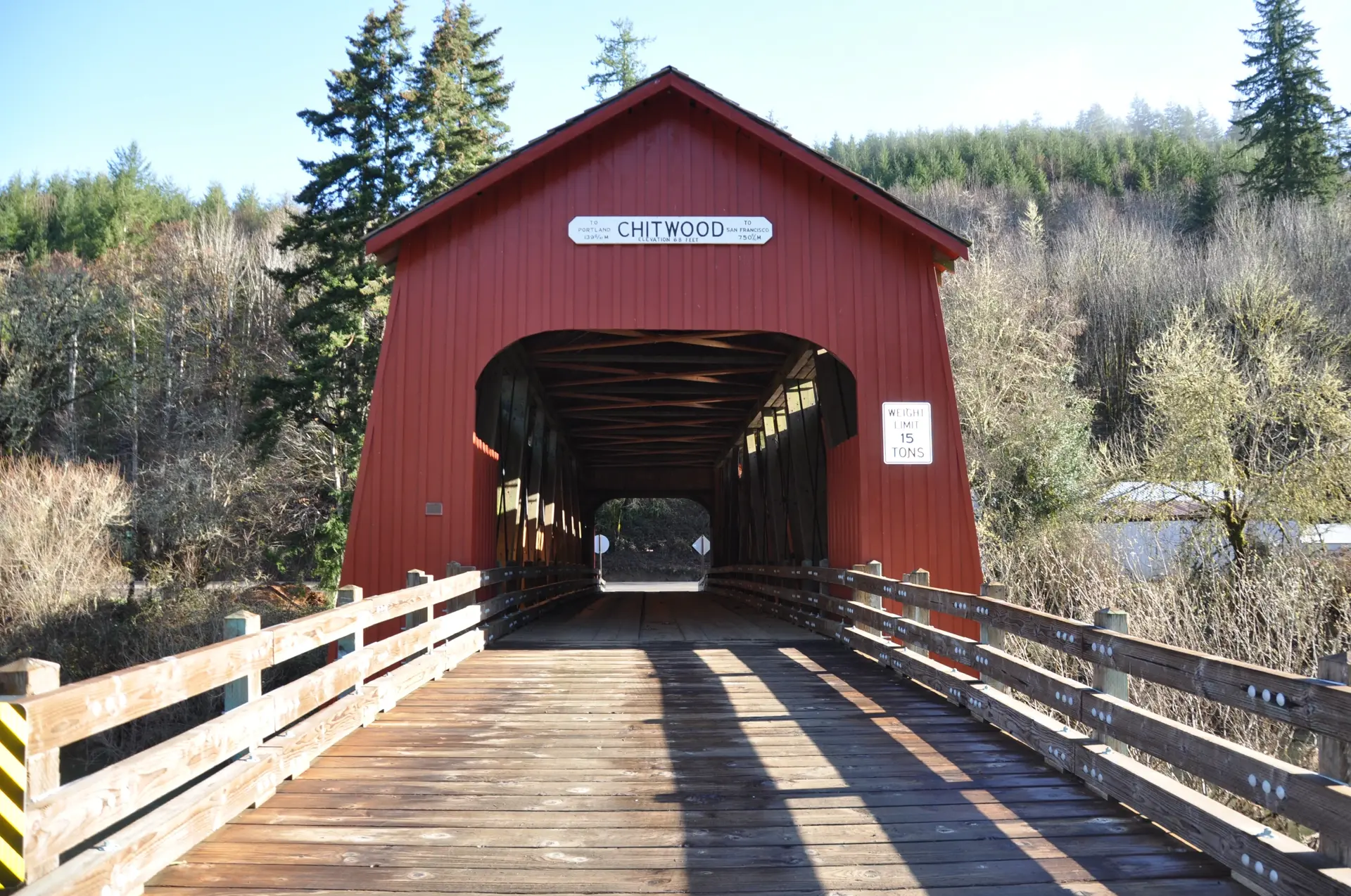
The bridge stands along the Chitwood Road in a forested creek valley of the Coast Range foothills, where tall Douglas fir and red alder crowd the streambanks. Its setting is among the most dramatically forested of any covered bridge in Oregon, with the surrounding timber creating a deeply shaded and atmospherically dense landscape.
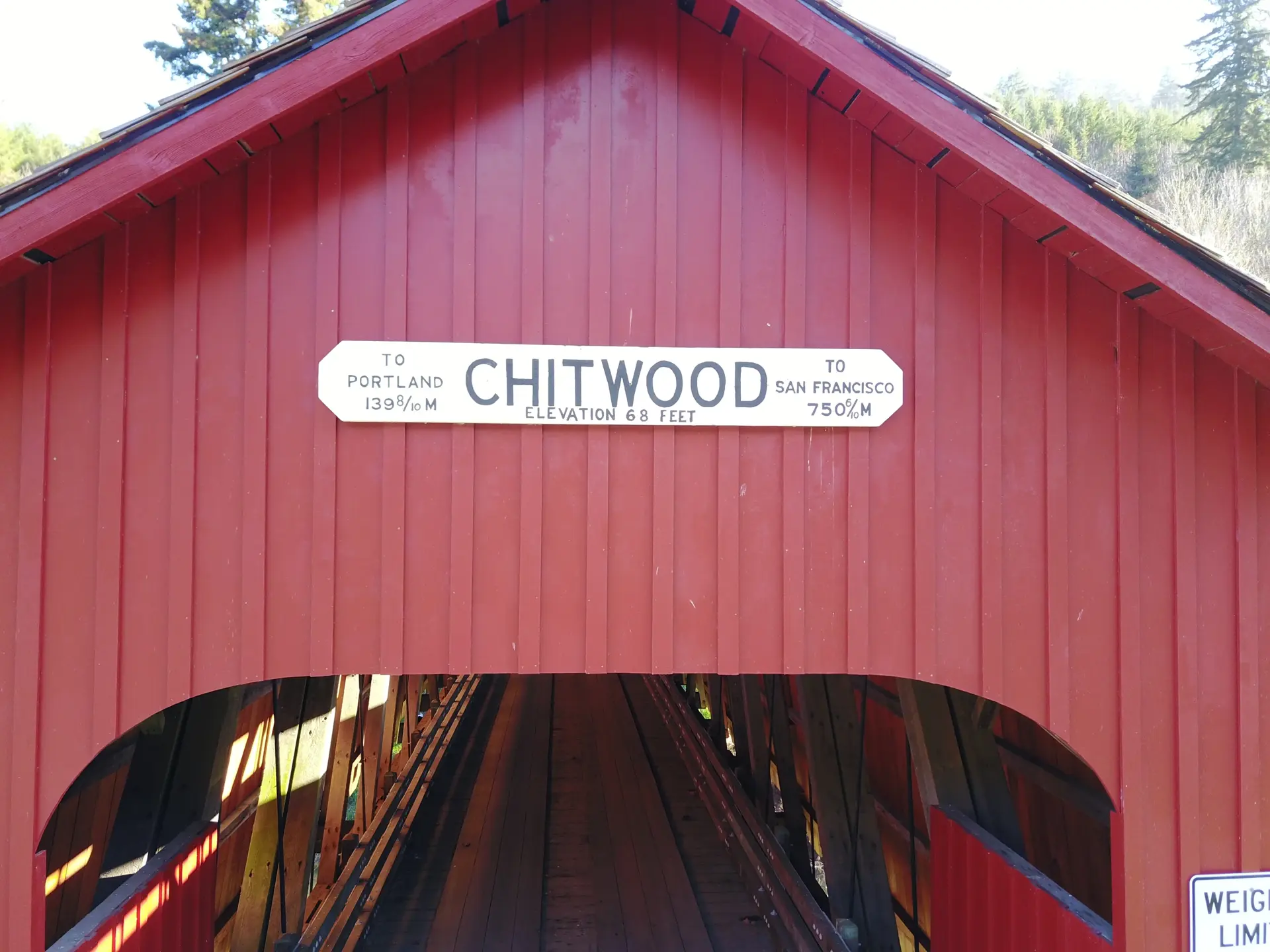
Chitwood Bridge was constructed in 1926 to serve the scattered homesteads and small logging operations of the Chitwood community in the upper Yaquina River drainage. The Howe truss design, well-proven across Oregon's river valleys, was applied here at a 96-foot span suited to the creek's width at this location.
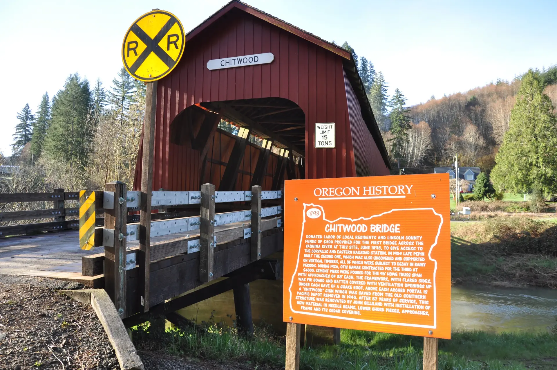
The community of Chitwood developed as a stop on the Corvallis-to-Yaquina Bay wagon road, which later became a stage route and eventually a rail corridor. The bridge served as an essential crossing for the farming and logging families who settled the steep valley land in this part of the Coast Range.
Listed on the National Register of Historic Places in 2003 as part of Oregon's statewide covered bridge multiple property nomination, Chitwood Bridge is one of the few examples representing the covered bridge tradition in Lincoln County and the coastal region. Its relatively remote location and forest setting make it a distinctive and atmospheric destination for covered bridge enthusiasts traveling along the Coast Range.